Justin Gibbs, meteorologist with the National Weather Service office in Paducah, confirmed Thursday morning that survey teams are already on the ground in Cape Girardeau, Missouri, and Paducah — following Wednesday’s powerful weather front that swept through the region.
Behind it, Gibbs said, were damage reports from southeastern Missouri, southern Illinois, southern Indiana, northeastern Arkansas and western Kentucky — and multiple tornado tracks to review.
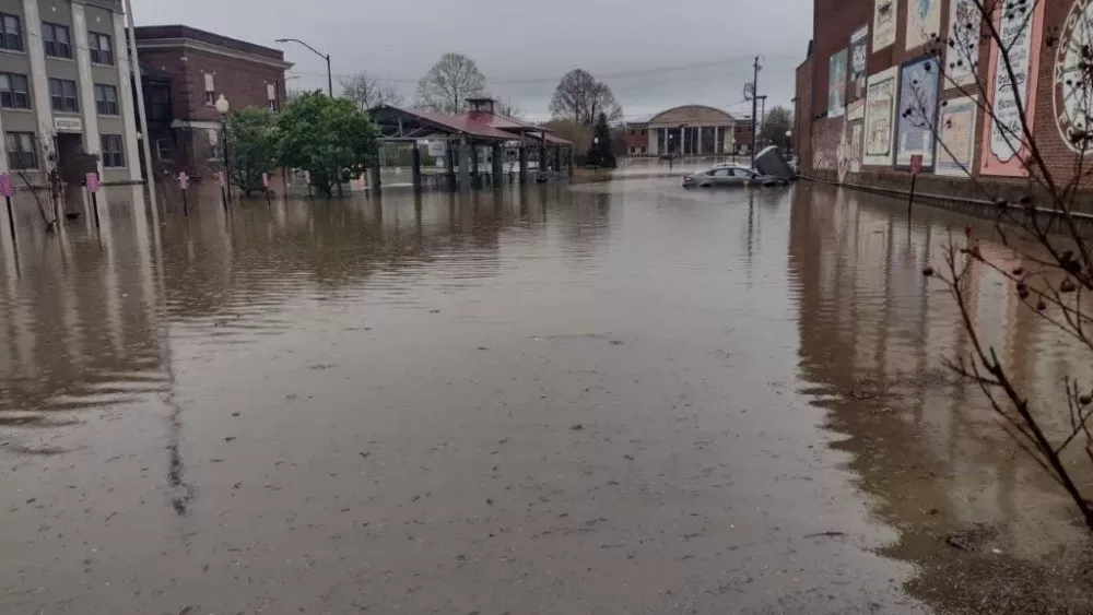
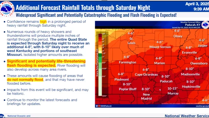
Gibbs also said the previously forecasted rainfall rates aren’t expected to change going through Thursday, Friday, Saturday and Sunday — and that residents of Christian and Todd counties should not expect a significant break in showers until after the weekend.
Thursday, he added, will be the “least dangerous” for flooding concerns, with Friday afternoon and evening, as well as early Saturday, seeing a “ramp up” in rain activity.
Gibbs also noted what to expect in the News Edge listening area Thursday night:
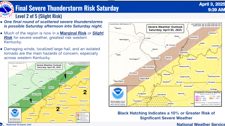
By Friday night, most of the region will be in a slight risk for severe weather — between a 1 and a 2 in western Kentucky — with the largest “enhanced” risk residing in southeastern Missouri and northeastern Arkansas. Possible threats include large hail, damaging winds and a few tornadoes — especially in southeast Missouri.
One final round of severe, scattered thunderstorms, Gibbs added, will come Saturday afternoon, before the cold front moves through Saturday night.
By then, he said regional rainfall totals will be the primary focus.
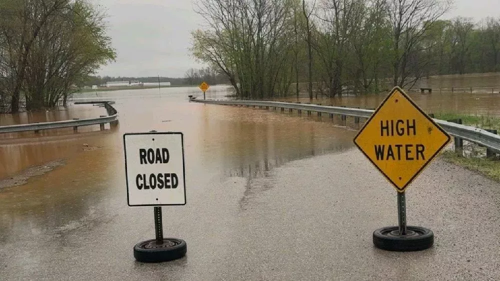
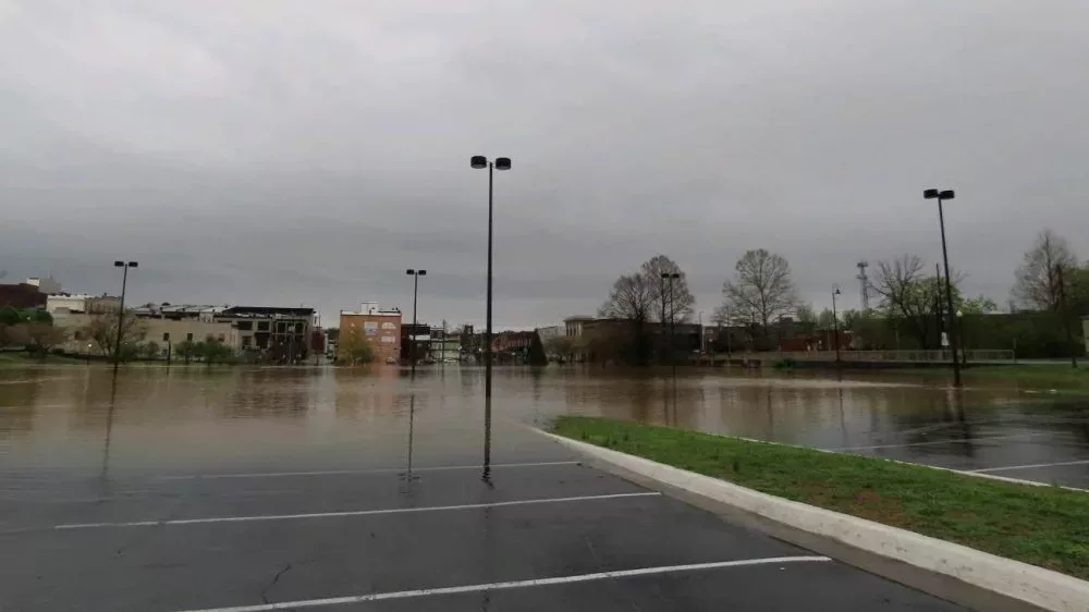
Gibbs, per the Water Prediction Center in Tuscaloosa, Alabama, said western Kentucky — from Fulton County, all the way to Todd County, and up to Henderson County — still resides in a “catastrophic” flooding outlook.
Gibbs also said a visit to Murray should be expected “in the coming days.”
A few other points:
+ During clean up efforts, Gibbs said to “be aware” of potential cloud-to-ground lightning through the weekend.
+ Typically, Gibbs said this region receives about 4 inches of rain during April. Over the next three days, most of the region will receive no less than double that total.
+ Wednesday’s 5-out-of-5 HIGH risk for severe weather, Gibbs said, was the first issued for this region in the last 13 years, and that this prediction played out “fairly well” and as described.
